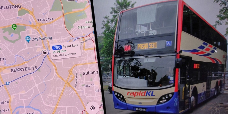
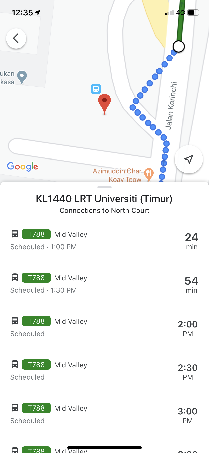
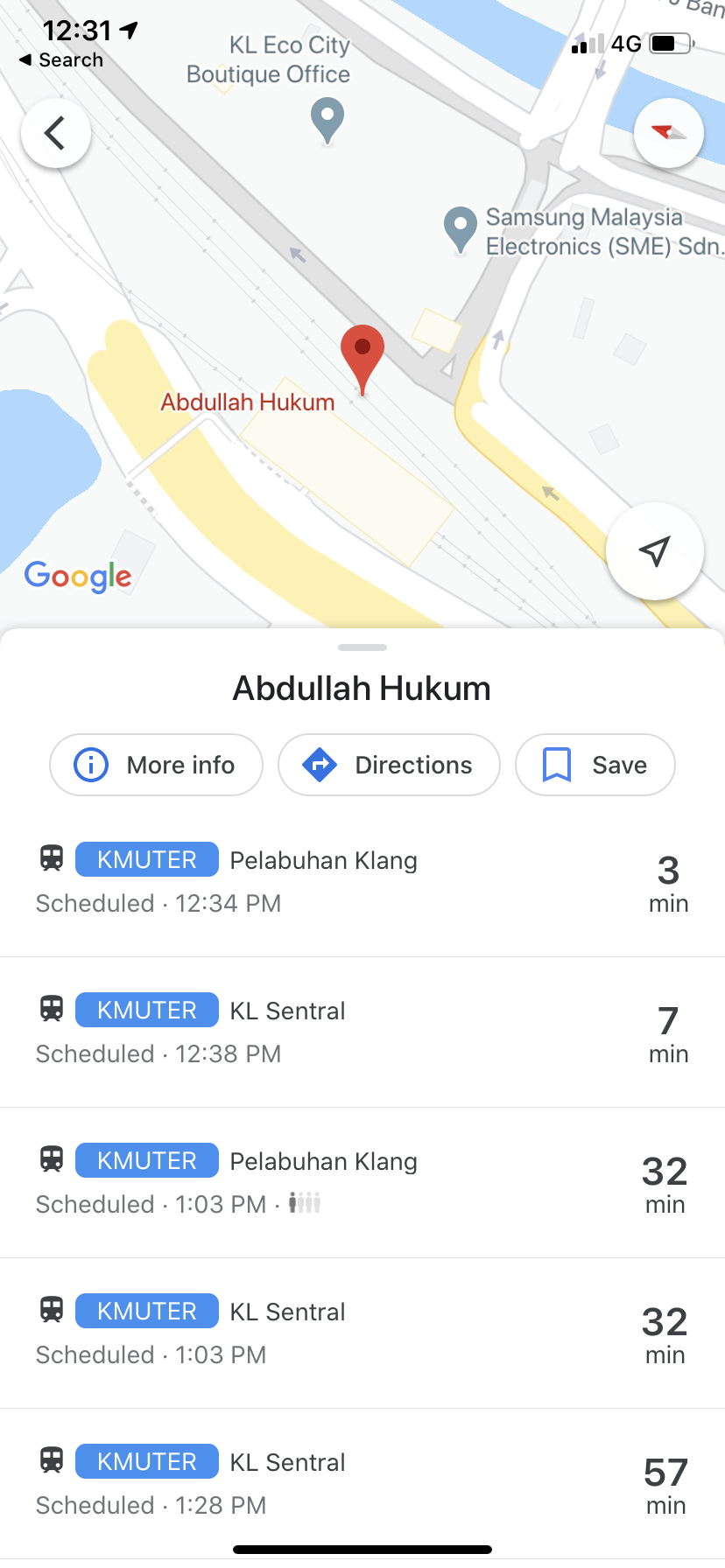
Thanks to technology, you won’t need to wait for a bus for long periods of time. Rapid KL announced in a Facebook page that they have a data-sharing project through Google Maps, which allows you to plan your journey more efficiently in the Klang Valley and Selangor.
“From time to time, we will develop innovative and creative systems that are up to date and efficient. (Passengers) can now manage the time that they have saved on other important matters at home before travelling,” said Prasarana Chairman Datuk Seri Tajuddin Abdul Rahman.
Through the app, the system allows you to check the current or real-time location of Rapid KL buses for nearly 170 routes in the Klang Valley. This includes the Light Rain Transit (LRT) shuttle buses, Go KL intermediary buses and Smart Selangor bus service routes.
How to use Google Maps to check on Rapid KL bus timings
- Download Google Maps (Android, iOS)
- Open up the app and type into the address or the location you want to go to
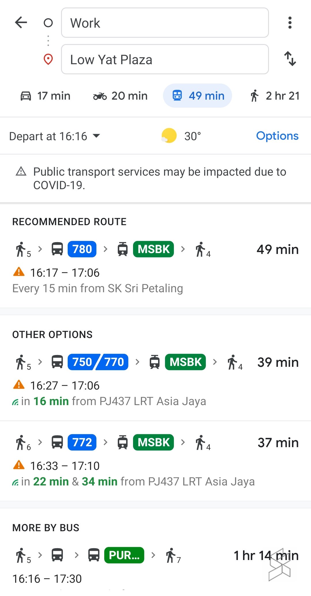
- Select the public transport button on the right of the motorcycle button near the top
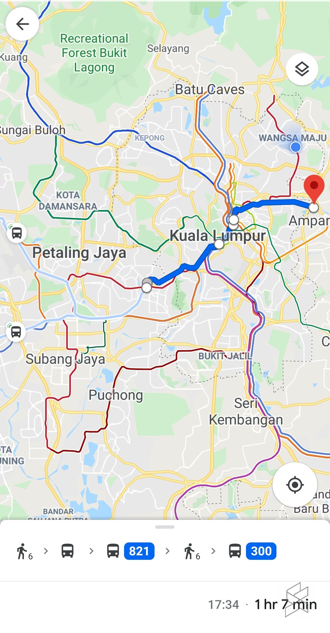
- Press on the route you want to take. Google Maps will also suggest a recommended route
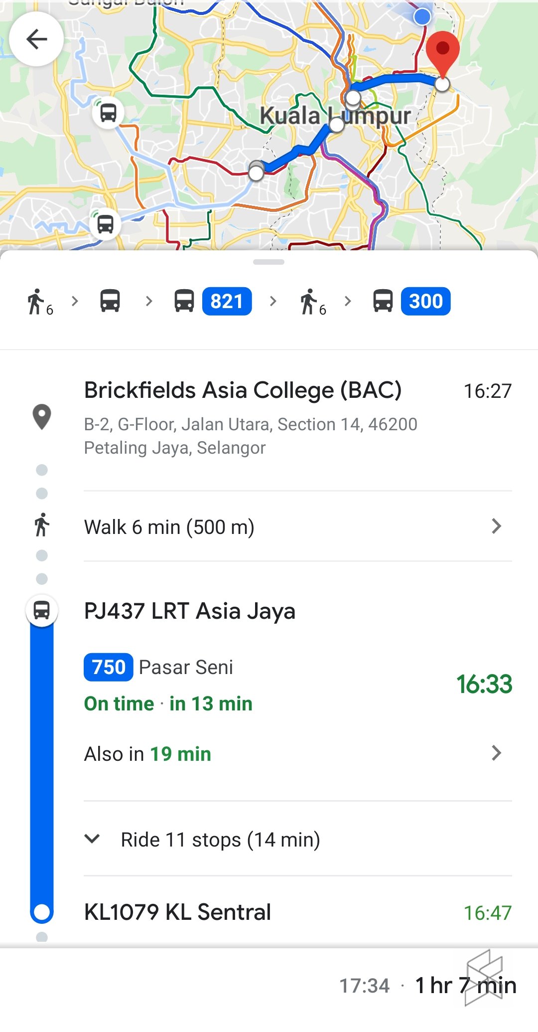
- From there, you will be able to see if a bus is on time as well as how ling it’ll take until it arrives to the station
- You will also be able to see how often a train passes (example: every 4 minutes at the LRT stations)
- After starting your route, you can also press on each station to look at the schedule throughout the day
- This also works for train stations
Previously, people could still have checked on real-time locations on public transport online by asking Rapid KL on their Twitter and Facebook page. They’re pretty quick at responding but now with the Google Maps feature, you won’t need to depend on their replies, just in case they don’t reply on time.
There is also an unlimited My30 pass initiative, which Malaysians can use to ride trains and buses as many times as they want for 30 days—for only RM30.
[ SOURCE, IMAGE SOURCE ]

