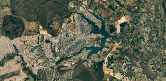
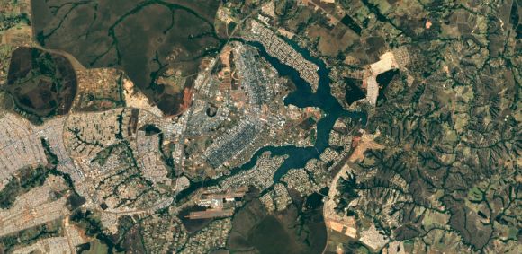
Google‘s Earth and Maps applications are fantastic tools to view the world. Now, the search engine giant is making these tools even better than before by rolling out much sharper images of the world to both Google Maps and Google Earth.
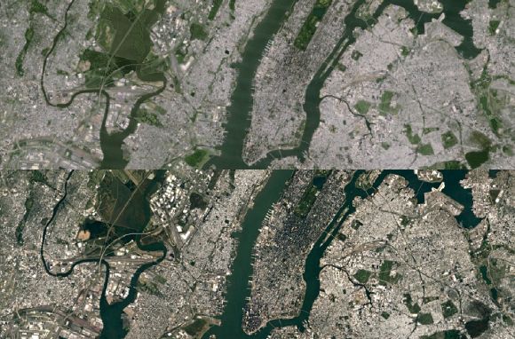
New York: top — old, bottom — new
These new images come courtesy of the new Landsat 8 satellite and a new processing technique which can produce sharper and more detailed images than ever before. The original images used were taken from the older Landsat 7 satellite which was the best at the time, but a hardware failure in 2003 resulted in large diagonal gaps of missing data.
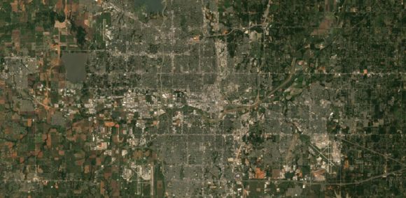
For those who don’t know, Google’s cloud and weather free mosaic of the earth is a result of combining and stitching selected portions of the Earth with clear skies to form one glorious image.
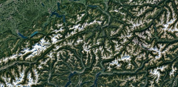
Launched in 2013, the new Landsat 8 satellite captures twice as many images a day than the old Landsat 7. More images means more data resulting in these new images being the freshest global mosaic Google has ever created. This new mosaic was crafted from nearly a petabyte of data (roughly 1 million GB) containing 700 trillion pixels.
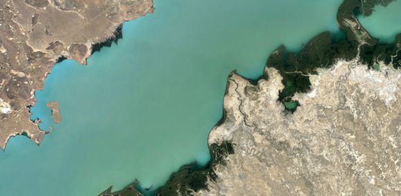
The reason Google can make use of this information is that the Landsat database is free and accessible open data. Landsat is a joint program between the USGS and NASA to observe Earth and they’ve been doing it since 1972.
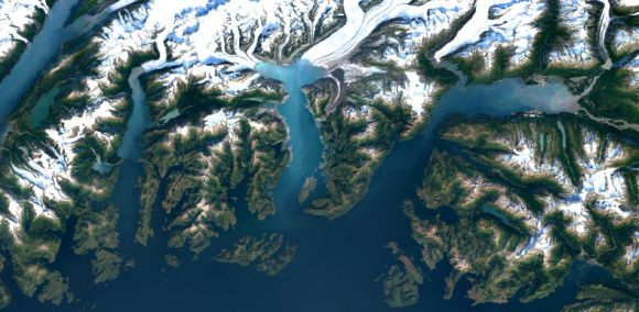
Google says that the new imagery is currently available across all their mapping products, but when we checked out Google Maps from our side, it still looks like the old photos.

