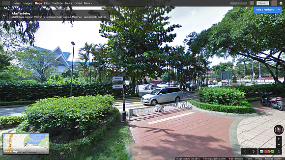
It took a while but its finally here. Launched in mid 2007, Google’s super useful virtual reality map feature is now available in Malaysia at selected locations.
Starting with Kuala Lumpur, Google is rolling out its Street View vehicles equipped with special cameras to collect street-level imagery to add to the Street View database in Malaysia. In it latest blog post Google Malaysia said that it plans to capture Street View imagery across the next few years. However the post didn’t specify, how much of the country’s roads will be mapped by Street View and for how long.
Along with the rolling out of the Street View vehicles, Google is also publishing new Street View imagery of 18 sites across the country, including Taman Tasik Titiwangsa, Sri Subramaniam Temple Batu Caves and Masjid Sultan Sallahuddin Abdul Aziz Shah. You can get the Street View of these locations via Google Maps. To set your expectations, the Street View experience is seamless but the database is rather limited with vast areas still unmapped, so be weary of that. You can also see Street View using Google Maps on your iOS or Android phone. Just open Google Maps, search for a location with Street View, long press on the location and the Street View option will pop up.
In addition to paved roads, the Google Street View team will also go off the streets to capture imagery of Malaysia’s off-road sites for everyone to experience online.
[source]


